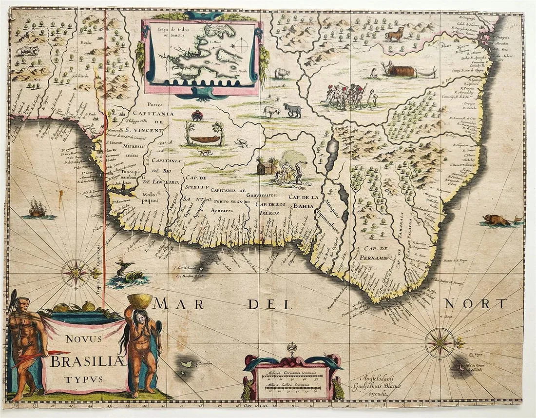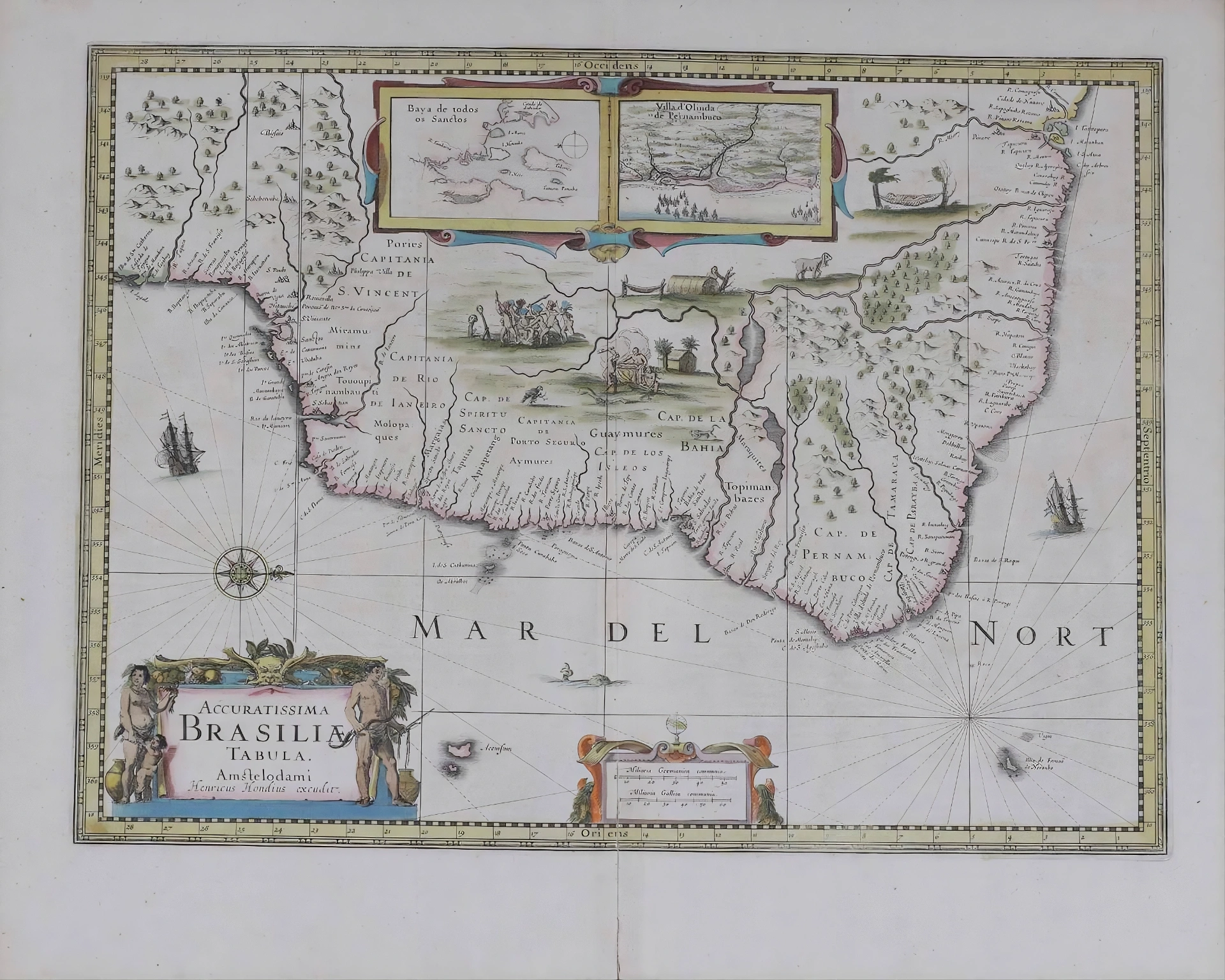
Hondius, H: Accuratissima Brasiliae tabula.
Henricus Hondius, Accuratissima Brasiliae Tabula, engraved map of Brazil, Amsterdam, c. 1660
- Date
- c.1660
- Origin
- Amsterdam
- Period
- Colonial Period (1500–1822)
- Materials
- Hand colored
- Dimensions
- 48 x 38 cm
- Condition
- VG
Provenance
Details forthcoming.
Historical Context
This map, Accuratissima Brasiliae Tabula, was produced in Amsterdam around 1660 by the Dutch cartographic family associated with Henricus Hondius, one of the leading publishers of the Dutch Golden Age of mapmaking. During the seventeenth century, Amsterdam had become the center of European cartography, where publishers such as the Hondius, Blaeu, and Janssonius families refined geographic knowledge gathered from explorers, merchants, and colonial administrators.
The map was created during a period when Brazil had become a focal point of European imperial rivalry. Although Portugal formally controlled the territory, the Dutch West India Company occupied large portions of northeastern Brazil between 1630 and 1654, establishing the colony known as Dutch Brazil under the administration of Johan Maurits of Nassau-Siegen. Dutch cartographers gained access to valuable geographic and scientific observations produced during this occupation, significantly improving European knowledge of Brazil's coastline, rivers, and settlements.
Maps such as this one synthesized information from Portuguese sources, Dutch military surveys, and travel accounts. As a result, they represent some of the most detailed and accurate depictions of Brazil available in Europe during the seventeenth century. These works were not only scientific tools but also instruments of commerce and imperial ambition, circulated widely among merchants, navigators, and scholars.
Today, Hondius maps are considered important milestones in the history of cartography, reflecting the remarkable technical skill and global outlook of the Dutch Golden Age while documenting Europe's expanding geographic understanding of South America.
Why This Item Matters
- Produced during the Dutch Golden Age of cartography, when Amsterdam was the leading center of mapmaking in Europe.
- Reflects improved geographic knowledge of Brazil following the Dutch presence in northeastern Brazil (1630–1654).
- Among the most detailed seventeenth-century maps of Brazil, combining Portuguese, Dutch, and explorer sources.
- Represents the intersection of cartography, commerce, and imperial rivalry in the early modern Atlantic world.
Cite This Page
"Hondius, H: Accuratissima Brasiliae tabula.," Brazilian Heritage Collection, accessed September 19, 2026, https://www.brazilianheritagecollection.com/collection/hondius-accuratissima-brasiliae-tabula.
Disclaimer: The information presented here represents our best-faith scholarly understanding based on available evidence. The Brazilian Heritage Collection does not offer legal guarantees of authenticity. Serious inquiries regarding provenance documentation are welcome from qualified researchers and institutions.